Aerial Eco
Business Services
Spokane Valley / WA / US
 0 (0)
0 (0)
During my spare time, I've immersed myself in the remarkable capabilities of advanced technology, revolutionizing the way we conduc...
About
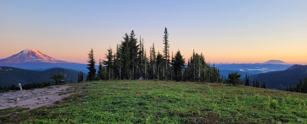
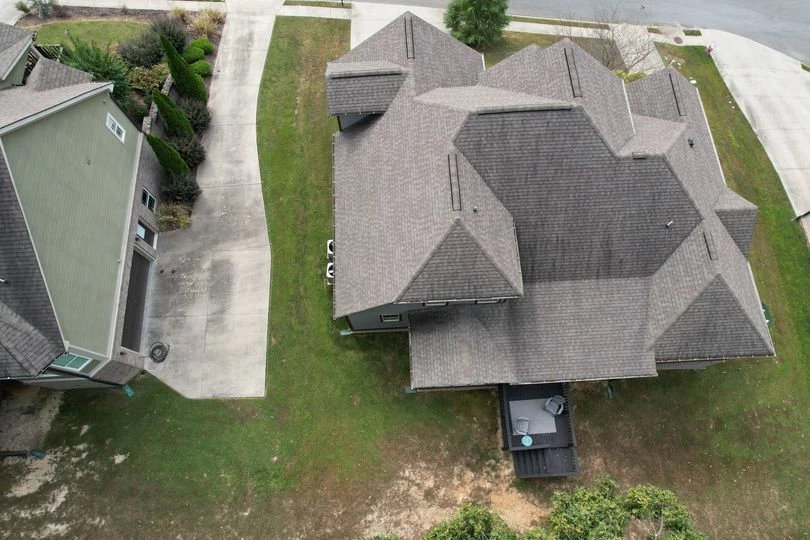
At Aerial Eco, we specialize in providing expert aerial photogrammetry and resource mapping services. We are an experienced, licensed, and insured service provider that prioritizes the overall satisfaction of our clients while delivering high-quality and cost-effective solutions.
Our team combines resource, scientific, and photogrammetry practices to address the complex challenges that businesses and consumers face. We are committed to providing technically sound and cost-efficient solutions that take into account the impact on our clients, the environment, and regulatory requirements.
Established in 2022, Aerial Eco has developed a workflow that leverages unmanned aerial systems (UAS) and photogrammetry software to increase accessibility and affordability for businesses. As regulations and applications for photogrammetry continue to expand, we strive to stay ahead of the curve by aligning our education and efforts with the growing demand. Our approach is technical, professional, and cost-effective, ensuring that each project receives the attention it deserves.
Our team of experts has over 10 years of combined experience and education, providing clients with high-quality imagery products, environmental consulting, and exceptional customer care. We specialize in a wide range of services, including high-resolution aerial photography, georeferenced orthomosaics, aerial inspections, GIS analysis, and precision agriculture. No matter what your needs are, Aerial Eco can provide a solution that fits your unique requirements.
We are committed to delivering exceptional service, streamlining technology, and exceeding your expectations. Contact us today to learn how we can help you with your aerial photogrammetry and resource mapping needs.
- Spokane Valley
Spokane Valley, WA 99016 US - (706) 483-2390
- aerialeco@gmail.com
- EN
- https://www.aerialeco.com/
- https://www.facebook.com/profile.php?id=100091243062001
- https://www.instagram.com/aerialeco/?fbclid=IwAR0tFq-BIfzSCL1E7XZVaN1yDzC9uKmX2IxOrPTpflzJ62WzmRrW18Fcve4
- https://www.youtube.com/channel/UCznsBtFKd-j1Zxv6GASmW5g
- https://www.linkedin.com/company/aerial-eco/
Aerial Photographers

